
Physiographic
location
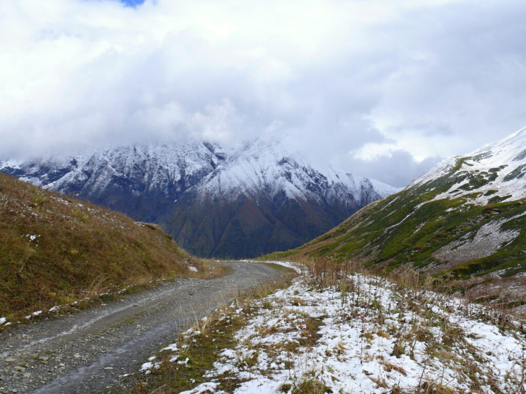
Georgia is located in the central part of the Alpine-Himalayan mountain belt.
Almost all types of subtropical climate zone – a humid subtropical climate, moderately moist, moderately dry and dry continental – are formed in Georgia.
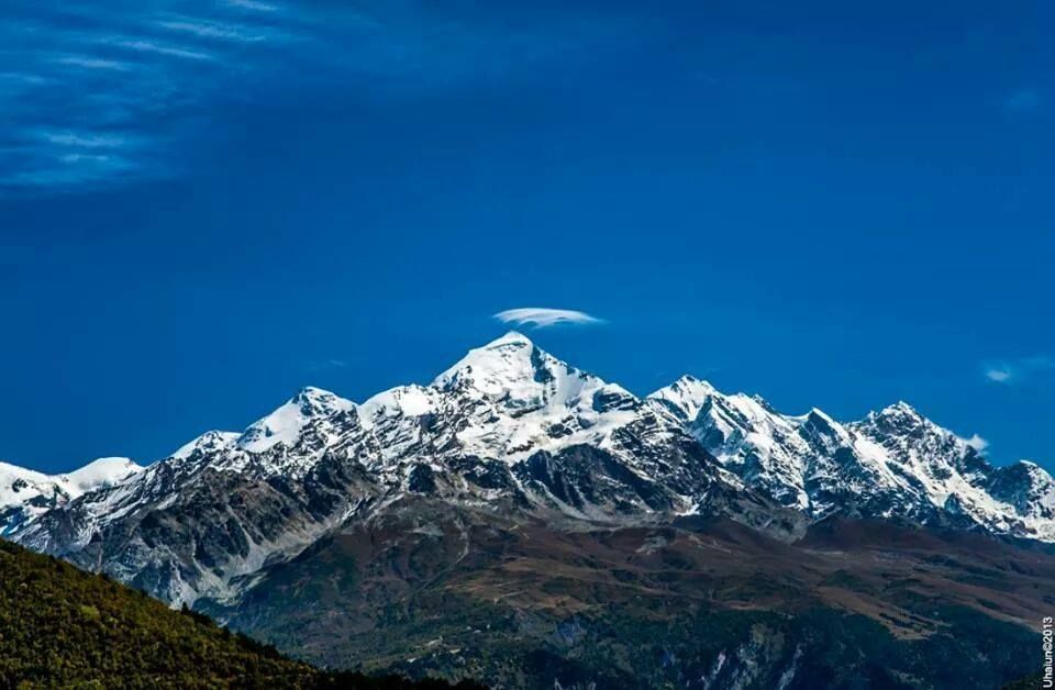
Due to placing on the isthmus, which connects Europe and Asia, different habitats of flora and fauna coexist well in Georgia. Natural conditions of plains in West Georgia differ from the plains of Eastern Georgia, and the nature of the Caucasus Mountains differs from the natural mountain environment of South Georgia.
Almost all types of soil, existing in the world, are presented in Georgia. The country is even called “The Museum of Soils.”
❄️ Winter
Plains: -1° to +1°C
Mountains: -42°C
☀️ Summer
East Georgia: +40°C
Warm & Sunny
🏔️ Special
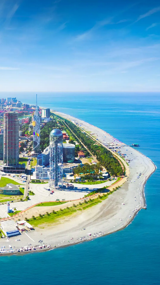
Batumi: +7°C (Jan) Highest humidity.
0
Lakes in Georgia
0
Total Area (sq.km)
Mtkvari River – Flows into the Caspian Sea
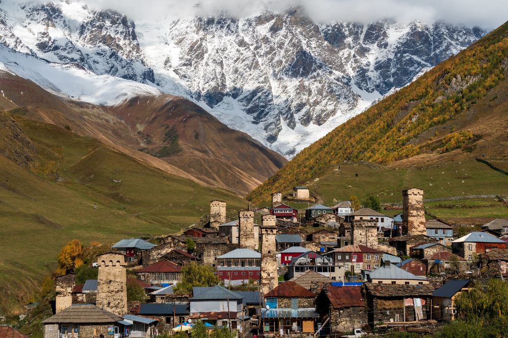
PEAKS
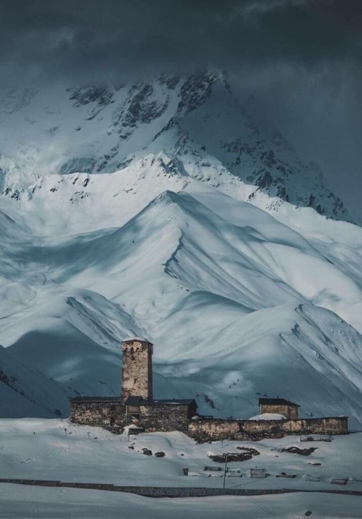
Shkhara: 5068 m (16,627 ft)
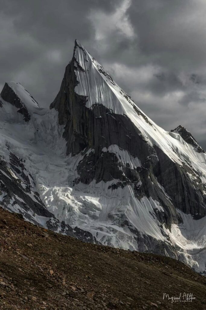
Mkinvartsveri (Kazbek): 5047 m (16,558 ft)
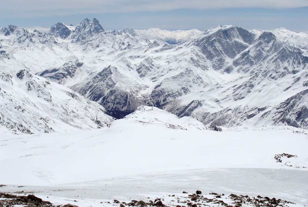
Shota Rustaveli: 4860 m (15,944 ft)
Tetnuldi: 4858 m (15,938 ft)
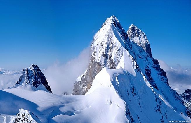
Ushba: 4700 m (15,419 ft)
Aylama: 4547 m (14,917 ft)


Flora of Georgia is rich and various. Exact number of species found in Georgia cannot be specified. |It counts approximately13,300 species. 4,225 species of them are seed-bearing plants.
In Georgia we have 380 endemic plants, found only in our country.
Forest vegetation in Georgia is widespread. Forests cover one-third of the country.
The Red Book of Georgia
The Red Book of Georgia was printed in 1982. It listed information on 65 rare and endangered species. It also listed information on 161 species of plants. The Red Book contains information on 77 sites of inorganic nature (geologic-morphologic and hydrographic).